


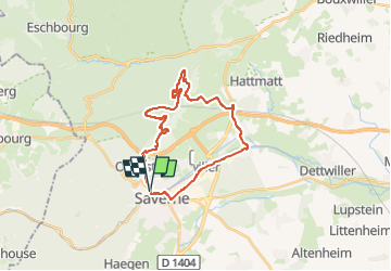
Mont saint michel de saverne et canal

Titinechris
User

Length
24 km

Max alt
418 m

Uphill gradient
526 m
Km-Effort
31 km

Min alt
168 m

Downhill gradient
529 m
Boucle
Yes
Creation date :
2025-04-20 09:19:51.185
Updated on :
2025-04-20 09:20:20.099
7h08
Difficulty : Very difficult

FREE GPS app for hiking
 SityTrail
IGN / Geographical institutes
SityTrail Plus
The world is yours!
About
Trail Walking of 24 km to be discovered at Grand Est, Bas-Rhin, Saverne. This trail is proposed by Titinechris.
Positioning
Country:
France
Region :
Grand Est
Department/Province :
Bas-Rhin
Municipality :
Saverne
Location:
Unknown
Start:(Dec)
Start:(UTM)
379139 ; 5400421 (32U) N.
Comments