


Cognelée Fort Marchovelette boucle

thomarche
User
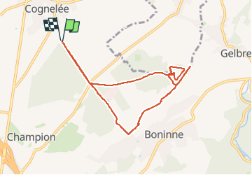

Length
8 km

Max alt
219 m

Uphill gradient
105 m
Km-Effort
9.4 km

Min alt
167 m

Downhill gradient
108 m
Boucle
Yes
Creation date :
2025-04-21 13:12:57.0
Updated on :
2025-04-21 15:34:16.027
1h50
Difficulty : Easy

FREE GPS app for hiking
 SityTrail
IGN / Geographical institutes
SityTrail Plus
The world is yours!
About
Trail Walking of 8 km to be discovered at Wallonia, Namur, Namur. This trail is proposed by thomarche.
Description
Boucle démarrant sur le GR412 retour par Ferme du Bois d'Esneux derrière Bonnine : puis sentier plus fréquenté depuis longtemps dc passage difficile. À redégager. Après ce sera très facile.
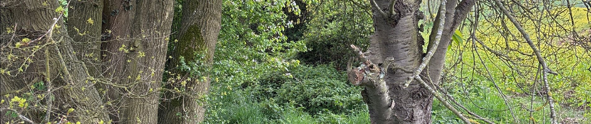
Photos


Positioning
Country:
Belgium
Region :
Wallonia
Department/Province :
Namur
Municipality :
Namur
Location:
Unknown
Start:(Dec)
Start:(UTM)
635352 ; 5597209 (31U) N.
Comments