


entre marchand 😅

Thibaut Esteban
User
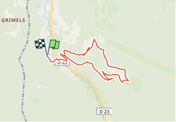

Length
8 km

Max alt
942 m

Uphill gradient
356 m
Km-Effort
12.8 km

Min alt
595 m

Downhill gradient
355 m
Boucle
Yes
Creation date :
2025-04-25 06:25:39.739
Updated on :
2025-04-25 06:25:41.453
2h54
Difficulty : Difficult

FREE GPS app for hiking
 SityTrail
IGN / Geographical institutes
SityTrail Plus
The world is yours!
About
Trail Walking of 8 km to be discovered at Grand Est, Vosges, Plainfaing. This trail is proposed by Thibaut Esteban.
Positioning
Country:
France
Region :
Grand Est
Department/Province :
Vosges
Municipality :
Plainfaing
Location:
Unknown
Start:(Dec)
Start:(UTM)
351791 ; 5334641 (32U) N.
Comments