


St Raphaël Jardins de Diane, Pastourelle

Pascal-83
User
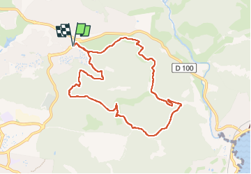

Length
9.7 km

Max alt
143 m

Uphill gradient
306 m
Km-Effort
13.8 km

Min alt
16 m

Downhill gradient
305 m
Boucle
Yes
Creation date :
2025-04-24 06:31:31.615
Updated on :
2025-04-27 05:42:10.195
3h12
Difficulty : Difficult

FREE GPS app for hiking
 SityTrail
IGN / Geographical institutes
SityTrail Plus
The world is yours!
About
Trail Walking of 9.7 km to be discovered at Provence-Alpes-Côte d'Azur, Var, Saint-Raphaël. This trail is proposed by Pascal-83.
Description
Marche Roquebrune Amitié
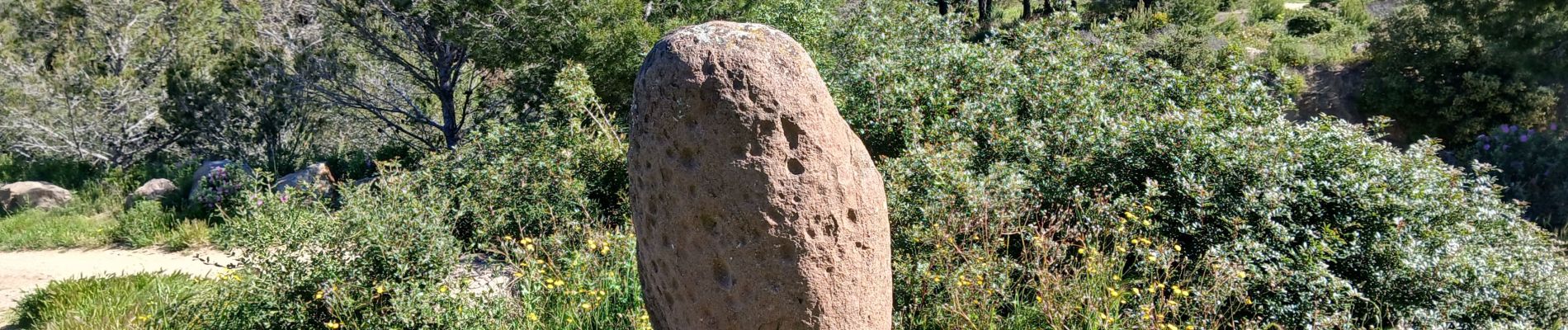
Photos


Positioning
Country:
France
Region :
Provence-Alpes-Côte d'Azur
Department/Province :
Var
Municipality :
Saint-Raphaël
Location:
Unknown
Start:(Dec)
Start:(UTM)
323406 ; 4813010 (32T) N.
Comments