


CAP Gruissan

cps46
User

Length
32 km

Max alt
13 m

Uphill gradient
142 m
Km-Effort
33 km

Min alt
-3 m

Downhill gradient
143 m
Boucle
Yes
Creation date :
2025-04-26 17:27:24.0
Updated on :
2025-04-27 06:54:53.528

FREE GPS app for hiking
 SityTrail
IGN / Geographical institutes
SityTrail Plus
The world is yours!
About
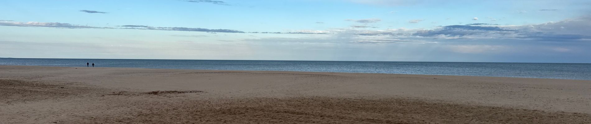
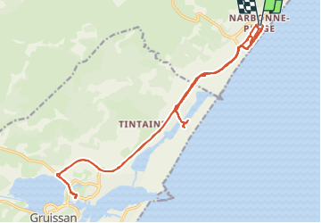
Trail of 32 km to be discovered at Occitania, Aude, Narbonne. This trail is proposed by cps46.
Photos

Positioning
Country:
France
Region :
Occitania
Department/Province :
Aude
Municipality :
Narbonne
Location:
Unknown
Start:(Dec)
Start:(UTM)
513531 ; 4778532 (31T) N.
Comments