


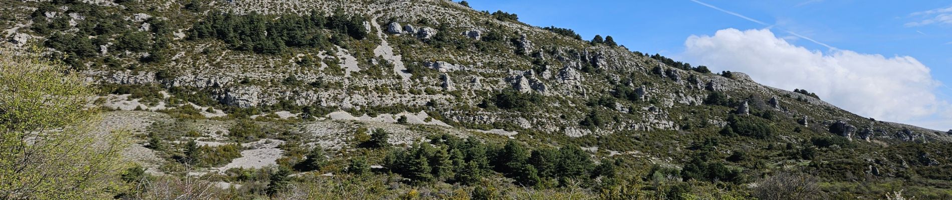
De Caussols vers le sommet et le plateau de Calern

FSantoni
User


6h25
Difficulty : Very difficult

FREE GPS app for hiking
 SityTrail
IGN / Geographical institutes
SityTrail Plus
The world is yours!
About
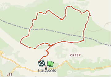
Trail Walking of 14.7 km to be discovered at Provence-Alpes-Côte d'Azur, Maritime Alps, Caussols. This trail is proposed by FSantoni.
Description
Une belle montée vers le sommet à 1458 m, puis un cheminement sur le plateau calcaire de Calern où on peut voir de nombreuses bories, des dolines. Magnifique !
Photos


58 photos in total. Please click on a photo to see them all in the gallery.

Positioning
Comments