


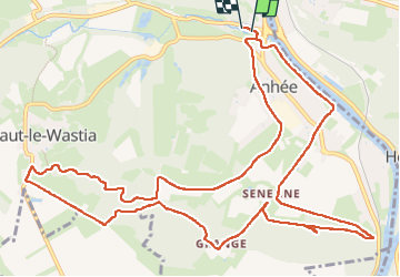
250428 Anhée

guy284
User

Length
14.3 km

Max alt
247 m

Uphill gradient
324 m
Km-Effort
18.6 km

Min alt
85 m

Downhill gradient
322 m
Boucle
Yes
Creation date :
2025-04-28 12:02:29.706
Updated on :
2025-04-28 14:58:56.518
2h48
Difficulty : Medium

FREE GPS app for hiking
 SityTrail
IGN / Geographical institutes
SityTrail Plus
The world is yours!
About
Trail Walking of 14.3 km to be discovered at Wallonia, Namur, Anhée. This trail is proposed by guy284.
Positioning
Country:
Belgium
Region :
Wallonia
Department/Province :
Namur
Municipality :
Anhée
Location:
Unknown
Start:(Dec)
Start:(UTM)
633420 ; 5575409 (31U) N.
Comments