


BM boucle Réveillon Yerres

jeanmarcMasson
User GUIDE
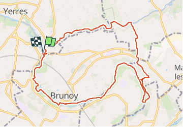

Length
11.8 km

Max alt
93 m

Uphill gradient
123 m
Km-Effort
13.4 km

Min alt
37 m

Downhill gradient
123 m
Boucle
Yes
Creation date :
2025-04-30 07:17:25.0
Updated on :
2025-04-30 10:13:27.375

FREE GPS app for hiking
 SityTrail
IGN / Geographical institutes
SityTrail Plus
The world is yours!
About
Trail of 11.8 km to be discovered at Ile-de-France, Essonne, Yerres. This trail is proposed by jeanmarcMasson.
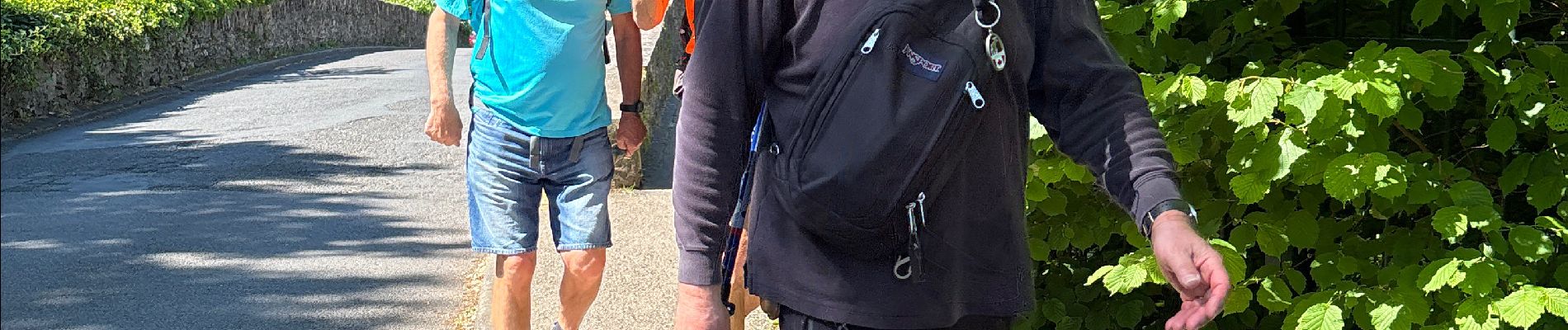
Photos


Positioning
Country:
France
Region :
Ile-de-France
Department/Province :
Essonne
Municipality :
Yerres
Location:
Unknown
Start:(Dec)
Start:(UTM)
463029 ; 5395048 (31U) N.
Comments