


Vira et la forêt de Boucherville

robertperello
User
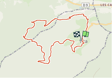

Length
12.4 km

Max alt
875 m

Uphill gradient
381 m
Km-Effort
17.5 km

Min alt
542 m

Downhill gradient
386 m
Boucle
Yes
Creation date :
2025-04-30 07:57:22.0
Updated on :
2025-04-30 13:03:51.912
3h39
Difficulty : Medium

FREE GPS app for hiking
 SityTrail
IGN / Geographical institutes
SityTrail Plus
The world is yours!
About
Trail Walking of 12.4 km to be discovered at Occitania, Pyrénées-Orientales, Vira. This trail is proposed by robertperello.
Description
Pking à la mairie. Aire de pique nique après le col de l’ours rand
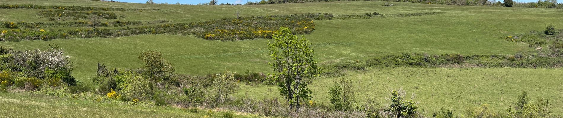
Photos

Positioning
Country:
France
Region :
Occitania
Department/Province :
Pyrénées-Orientales
Municipality :
Vira
Location:
Unknown
Start:(Dec)
Start:(UTM)
451976 ; 4735462 (31T) N.
Comments