


Col du Minier Lac de Pises

Dupuybadonniere
User
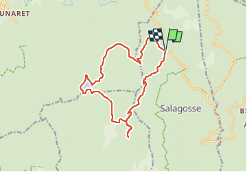

Length
16.9 km

Max alt
1344 m

Uphill gradient
279 m
Km-Effort
21 km

Min alt
1224 m

Downhill gradient
277 m
Boucle
Yes
Creation date :
2025-04-24 07:04:26.033
Updated on :
2025-05-01 17:43:15.01
3h22
Difficulty : Very difficult

FREE GPS app for hiking
 SityTrail
IGN / Geographical institutes
SityTrail Plus
The world is yours!
About
Trail Walking of 16.9 km to be discovered at Occitania, Gard, Bréau-Mars. This trail is proposed by Dupuybadonniere.
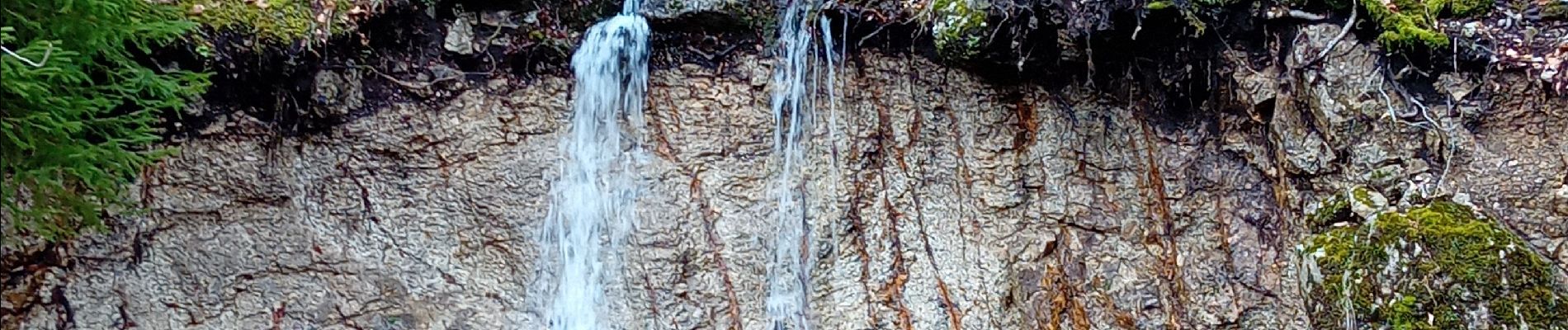
Photos


Positioning
Country:
France
Region :
Occitania
Department/Province :
Gard
Municipality :
Bréau-Mars
Location:
Unknown
Start:(Dec)
Start:(UTM)
543835 ; 4878034 (31T) N.
Comments