


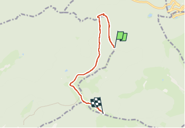
Autour Gustiberg

geranimo
User

Length
4.7 km

Max alt
1214 m

Uphill gradient
196 m
Km-Effort
7.8 km

Min alt
989 m

Downhill gradient
351 m
Boucle
No
Creation date :
2025-05-01 12:54:19.0
Updated on :
2025-05-02 19:10:18.938
1h34
Difficulty : Medium

FREE GPS app for hiking
 SityTrail
IGN / Geographical institutes
SityTrail Plus
The world is yours!
About
Trail Walking of 4.7 km to be discovered at Grand Est, Haut-Rhin, Fellering. This trail is proposed by geranimo.
Positioning
Country:
France
Region :
Grand Est
Department/Province :
Haut-Rhin
Municipality :
Fellering
Location:
Unknown
Start:(Dec)
Start:(UTM)
345249 ; 5308425 (32T) N.
Comments