


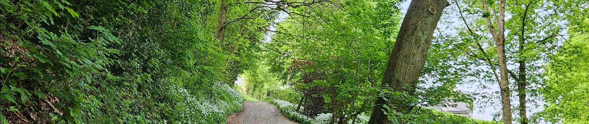
La balade de l'ail des Ours (Olne) 🥾

Ko-Rando
User
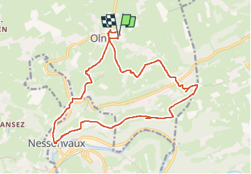

Length
9.6 km

Max alt
263 m

Uphill gradient
259 m
Km-Effort
13 km

Min alt
111 m

Downhill gradient
257 m
Boucle
Yes
Creation date :
2025-05-03 07:12:44.483
Updated on :
2025-05-03 10:10:50.063
2h19
Difficulty : Medium

FREE GPS app for hiking
 SityTrail
IGN / Geographical institutes
SityTrail Plus
The world is yours!
About
Trail Walking of 9.6 km to be discovered at Wallonia, Liège, Olne. This trail is proposed by Ko-Rando.
Photos
 🥾 - Photo 1")
 🥾 - Photo 2")
 🥾 - Photo 3")
 🥾 - Photo 4")
 🥾 - Photo 5")
 🥾 - Photo 6")

Positioning
Country:
Belgium
Region :
Wallonia
Department/Province :
Liège
Municipality :
Olne
Location:
Unknown
Start:(Dec)
Start:(UTM)
694816 ; 5607876 (31U) N.
Comments