


vallon du Rousset la Motte

Michel DUBOIS
User
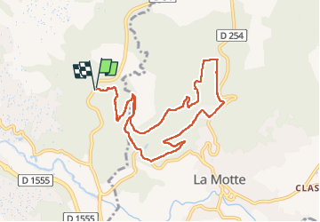

Length
10.5 km

Max alt
248 m

Uphill gradient
316 m
Km-Effort
14.7 km

Min alt
92 m

Downhill gradient
316 m
Boucle
Yes
Creation date :
2025-05-05 06:36:55.154
Updated on :
2025-05-05 10:16:11.49
3h38
Difficulty : Easy

FREE GPS app for hiking
 SityTrail
IGN / Geographical institutes
SityTrail Plus
The world is yours!
About
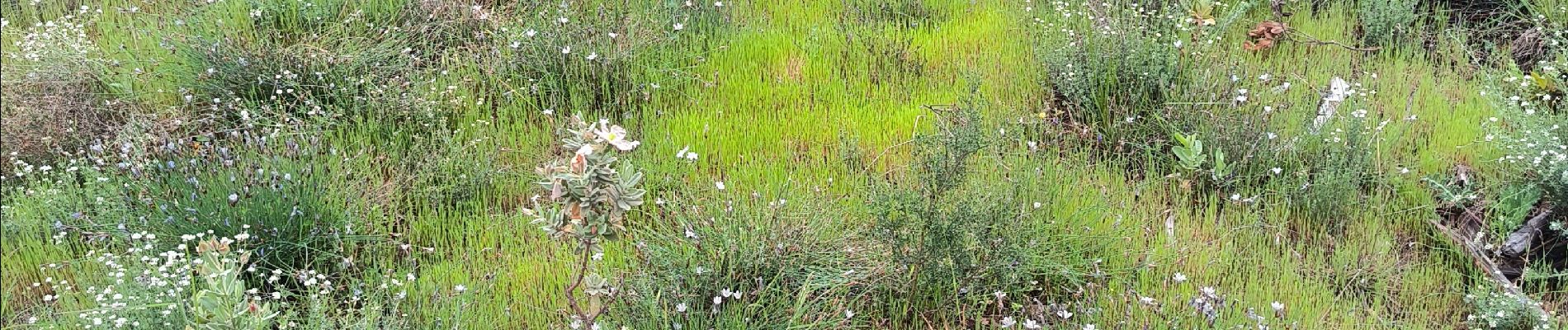
Trail Walking of 10.5 km to be discovered at Provence-Alpes-Côte d'Azur, Var, Trans-en-Provence. This trail is proposed by Michel DUBOIS.
Photos


Positioning
Country:
France
Region :
Provence-Alpes-Côte d'Azur
Department/Province :
Var
Municipality :
Trans-en-Provence
Location:
Unknown
Start:(Dec)
Start:(UTM)
298803 ; 4820071 (32T) N.
Comments