


BeauPlateau

guyernage25
User

Length
33 km

Max alt
530 m

Uphill gradient
649 m
Km-Effort
42 km

Min alt
404 m

Downhill gradient
653 m
Boucle
Yes
Creation date :
2025-05-02 06:38:55.319
Updated on :
2025-05-05 15:11:21.15
8h16
Difficulty : Very difficult

FREE GPS app for hiking
 SityTrail
IGN / Geographical institutes
SityTrail Plus
The world is yours!
About
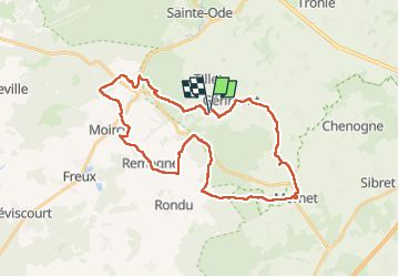
Trail Walking of 33 km to be discovered at Wallonia, Luxembourg, Sainte-Ode. This trail is proposed by guyernage25.
Description
Le sentier de l Agaric le sentier du Coprin
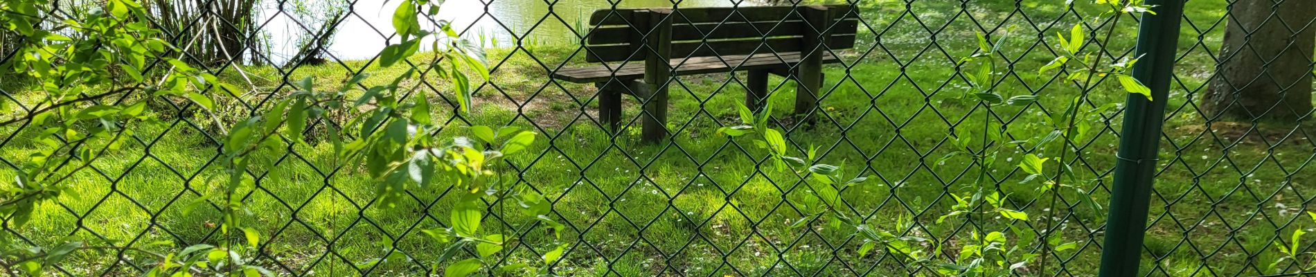
Photos


40 photos in total. Please click on a photo to see them all in the gallery.
Positioning
Country:
Belgium
Region :
Wallonia
Department/Province :
Luxembourg
Municipality :
Sainte-Ode
Location:
Unknown
Start:(Dec)
Start:(UTM)
681421 ; 5541278 (31U) N.
Comments