


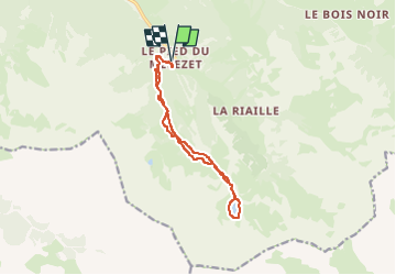
Queyras-Ceillac-Lacs Miroirs et Sainte Anne

nicolas54230
User

Length
12.9 km

Max alt
2422 m

Uphill gradient
795 m
Km-Effort
23 km

Min alt
1686 m

Downhill gradient
796 m
Boucle
Yes
Creation date :
2025-05-08 08:22:05.531
Updated on :
2025-05-08 08:23:08.33
5h20
Difficulty : Very difficult

FREE GPS app for hiking
 SityTrail
IGN / Geographical institutes
SityTrail Plus
The world is yours!
About
Trail Walking of 12.9 km to be discovered at Provence-Alpes-Côte d'Azur, Hautes-Alpes, Ceillac. This trail is proposed by nicolas54230.
Positioning
Country:
France
Region :
Provence-Alpes-Côte d'Azur
Department/Province :
Hautes-Alpes
Municipality :
Ceillac
Location:
Unknown
Start:(Dec)
Start:(UTM)
324905 ; 4946427 (32T) N.
Comments