


20250520-Pinterville Cool

doudet
User
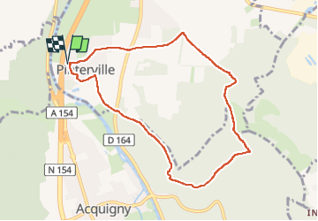

Length
8.2 km

Max alt
128 m

Uphill gradient
165 m
Km-Effort
10.4 km

Min alt
15 m

Downhill gradient
165 m
Boucle
Yes
Creation date :
2025-05-20 07:38:23.241
Updated on :
2025-05-21 16:05:33.974
2h37
Difficulty : Medium

FREE GPS app for hiking
 SityTrail
IGN / Geographical institutes
SityTrail Plus
The world is yours!
About
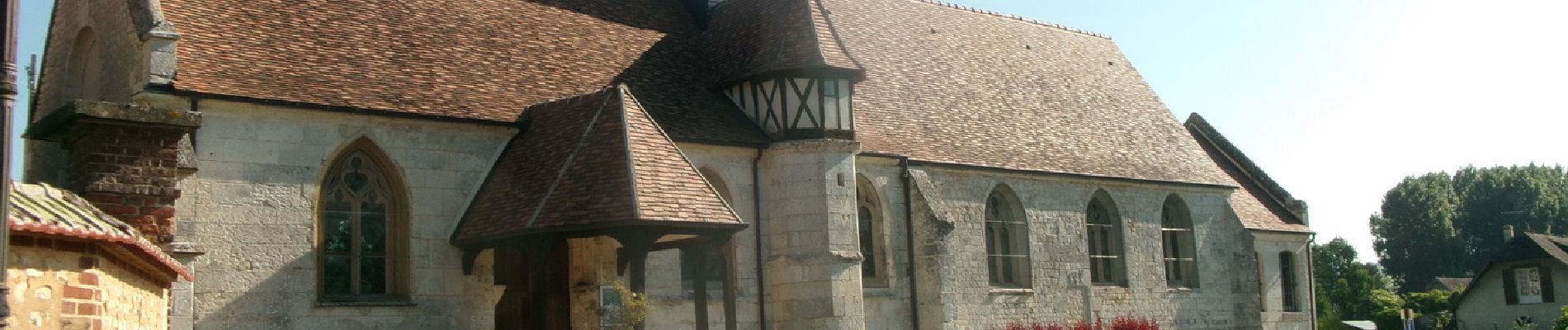
Trail Walking of 8.2 km to be discovered at Normandy, Eure, Pinterville. This trail is proposed by doudet.
Description
Boucle A-R au départ de l'Eglise
Photos

Positioning
Country:
France
Region :
Normandy
Department/Province :
Eure
Municipality :
Pinterville
Location:
Unknown
Start:(Dec)
Start:(UTM)
366764 ; 5450265 (31U) N.
Comments