


Salette -Chiffre

jsaun
User
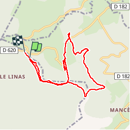

Length
9.6 km

Max alt
966 m

Uphill gradient
324 m
Km-Effort
13.9 km

Min alt
860 m

Downhill gradient
328 m
Boucle
No
Creation date :
2015-07-17 00:00:00.0
Updated on :
2015-07-17 00:00:00.0
2h32
Difficulty : Medium

FREE GPS app for hiking
 SityTrail
IGN / Geographical institutes
SityTrail Plus
The world is yours!
About
Trail Walking of 9.6 km to be discovered at Occitania, Aude, Lespinassière. This trail is proposed by jsaun.
Description
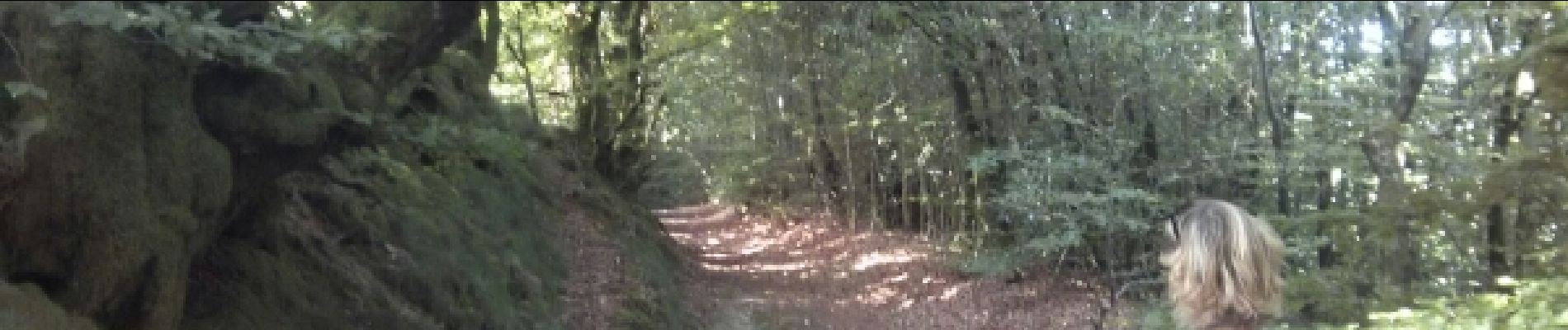
forêt de hêtres, quelques endroits dégager
Photos


Positioning
Country:
France
Region :
Occitania
Department/Province :
Aude
Municipality :
Lespinassière
Location:
Unknown
Start:(Dec)
Start:(UTM)
465626 ; 4807322 (31T) N.
Comments
pas balisée et tracé flou