


210525 monastère

d.rognon
User
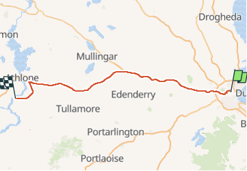

Length
135 km

Max alt
139 m

Uphill gradient
861 m
Km-Effort
147 km

Min alt
4 m

Downhill gradient
840 m
Boucle
No
Creation date :
2025-05-21 12:11:22.955
Updated on :
2025-05-21 14:20:27.757
2h05
Difficulty : Very easy

FREE GPS app for hiking
 SityTrail
IGN / Geographical institutes
SityTrail Plus
The world is yours!
About
Trail Car of 135 km to be discovered at Unknown, Unknown, Unknown. This trail is proposed by d.rognon.

Positioning
Country:
Ireland
Region :
Unknown
Department/Province :
Unknown
Municipality :
Unknown
Location:
Ballymun C ED
Start:(Dec)
Start:(UTM)
682185 ; 5915286 (29U) N.
Comments