


Sentier des crêtes Fixin Gevrey

FabienneD
User
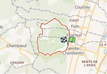

Length
12.1 km

Max alt
524 m

Uphill gradient
311 m
Km-Effort
16.3 km

Min alt
288 m

Downhill gradient
313 m
Boucle
Yes
Creation date :
2025-05-29 08:30:04.863
Updated on :
2025-05-29 19:07:32.433
4h46
Difficulty : Medium

FREE GPS app for hiking
 SityTrail
IGN / Geographical institutes
SityTrail Plus
The world is yours!
About
Trail Walking of 12.1 km to be discovered at Bourgogne-Franche-Comté, Côte-d'Or, Gevrey-Chambertin. This trail is proposed by FabienneD.
Description
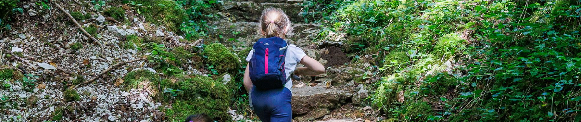
Belle randonnée entre Fixin et Gevrey qui passe par les 100 marches et la Combe Lavaux
Photos


Positioning
Country:
France
Region :
Bourgogne-Franche-Comté
Department/Province :
Côte-d'Or
Municipality :
Gevrey-Chambertin
Location:
Unknown
Start:(Dec)
Start:(UTM)
648733 ; 5232556 (31T) N.
Comments