


Allesur Semois 020625

guyernage25
User
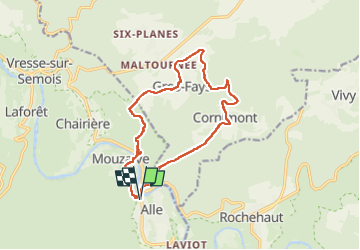

Length
13.7 km

Max alt
424 m

Uphill gradient
517 m
Km-Effort
21 km

Min alt
184 m

Downhill gradient
520 m
Boucle
Yes
Creation date :
2025-06-02 09:46:06.142
Updated on :
2025-06-02 14:14:35.883
4h27
Difficulty : Difficult

FREE GPS app for hiking
 SityTrail
IGN / Geographical institutes
SityTrail Plus
The world is yours!
About
Trail Walking of 13.7 km to be discovered at Wallonia, Namur, Vresse-sur-Semois. This trail is proposed by guyernage25.
Description
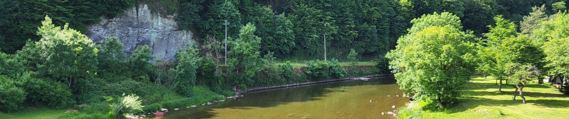
Belle rando dans la vallée de la Semois
Photos


29 photos in total. Please click on a photo to see them all in the gallery.
Positioning
Country:
Belgium
Region :
Wallonia
Department/Province :
Namur
Municipality :
Vresse-sur-Semois
Location:
Unknown
Start:(Dec)
Start:(UTM)
641567 ; 5523184 (31U) N.
Comments