


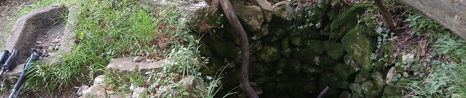
Courmes, Plateau de St Barnabé, le Champ des Idoles

Pascal-83
User


Length
12.7 km

Max alt
961 m

Uphill gradient
411 m
Km-Effort
18.2 km

Min alt
623 m

Downhill gradient
417 m
Boucle
Yes
Creation date :
2025-06-03 06:57:31.146
Updated on :
2025-06-04 12:46:11.962
4h07
Difficulty : Difficult

FREE GPS app for hiking
 SityTrail
IGN / Geographical institutes
SityTrail Plus
The world is yours!
About
Trail Walking of 12.7 km to be discovered at Provence-Alpes-Côte d'Azur, Maritime Alps, Courmes. This trail is proposed by Pascal-83.
Description
Marche sac à dos Roquebrune Amitié
Photos


Positioning
Country:
France
Region :
Provence-Alpes-Côte d'Azur
Department/Province :
Maritime Alps
Municipality :
Courmes
Location:
Unknown
Start:(Dec)
Start:(UTM)
339693 ; 4845294 (32T) N.
Comments