


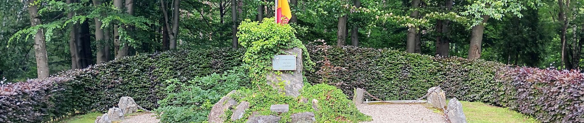
autour du Maquisart

stef789
User GUIDE
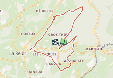


2h55
Difficulty : Easy

FREE GPS app for hiking
 SityTrail
IGN / Geographical institutes
SityTrail Plus
The world is yours!
About
Trail Walking of 9.7 km to be discovered at Wallonia, Liège, Theux. This trail is proposed by stef789.
Description
attention après la 1ere descente vous arrivez à un T j’ai été tout droit par les près... très très humides et clôtures à passer... prenez à droite vers le village mais vous devrez longer la grand route ou à gauche qui est plus agréable
Photos


27 photos in total. Please click on a photo to see them all in the gallery.
Positioning
Comments