


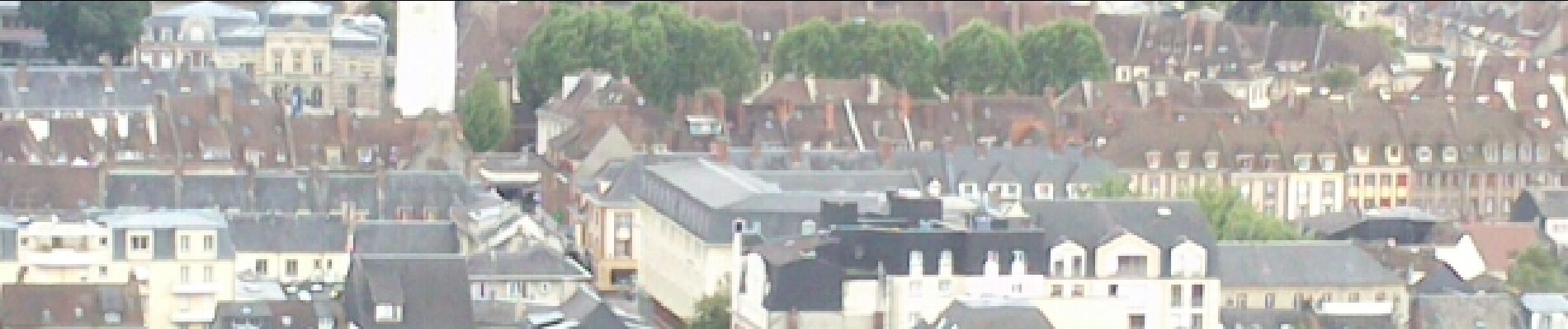
belvedere de St Michel

fredtruc27
User
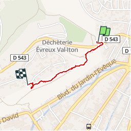

Length
766 m

Max alt
121 m

Uphill gradient
45 m
Km-Effort
1.2 km

Min alt
74 m

Downhill gradient
0 m
Boucle
No
Creation date :
2015-07-23 00:00:00.0
Updated on :
2015-07-23 00:00:00.0
15m
Difficulty : Unknown

FREE GPS app for hiking
 SityTrail
IGN / Geographical institutes
SityTrail Plus
The world is yours!
About
Trail Other activity of 766 m to be discovered at Normandy, Eure, Évreux. This trail is proposed by fredtruc27.
Photos


Positioning
Country:
France
Region :
Normandy
Department/Province :
Eure
Municipality :
Évreux
Location:
Unknown
Start:(Dec)
Start:(UTM)
365002 ; 5432905 (31U) N.
Comments