


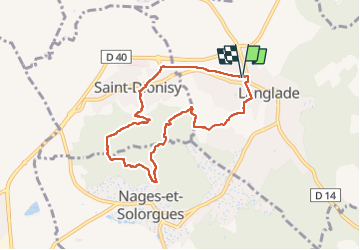
30185 l’anglade opidum nages 20250610

papagenopier
User

Length
7.7 km

Max alt
178 m

Uphill gradient
193 m
Km-Effort
10.3 km

Min alt
61 m

Downhill gradient
193 m
Boucle
Yes
Creation date :
2025-06-10 09:54:09.0
Updated on :
2025-06-10 12:22:32.199
2h10
Difficulty : Medium

FREE GPS app for hiking
 SityTrail
IGN / Geographical institutes
SityTrail Plus
The world is yours!
About
Trail Walking of 7.7 km to be discovered at Occitania, Gard, Langlade. This trail is proposed by papagenopier.
Description
Sympa et pas trop difficile. Retour par la voie verte
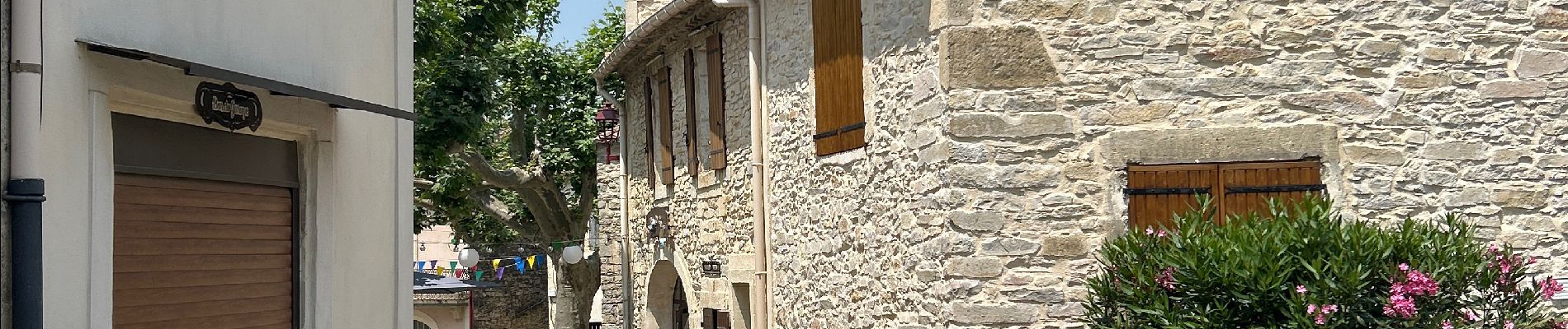
Photos


Positioning
Country:
France
Region :
Occitania
Department/Province :
Gard
Municipality :
Langlade
Location:
Unknown
Start:(Dec)
Start:(UTM)
600229 ; 4851096 (31T) N.
Comments