


Domaine St Jacques Mont St Odile

alinetpierre
User
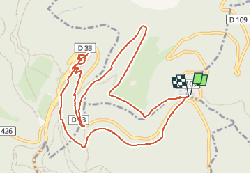

Length
6.6 km

Max alt
773 m

Uphill gradient
250 m
Km-Effort
10 km

Min alt
538 m

Downhill gradient
246 m
Boucle
Yes
Creation date :
2025-06-12 13:48:05.0
Updated on :
2025-06-12 15:25:30.36

FREE GPS app for hiking
 SityTrail
IGN / Geographical institutes
SityTrail Plus
The world is yours!
About
Trail of 6.6 km to be discovered at Grand Est, Bas-Rhin, Obernai. This trail is proposed by alinetpierre.
Description
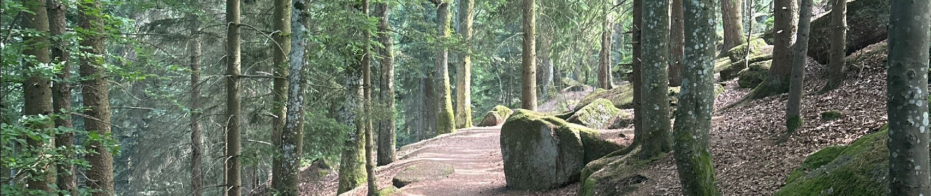
Promenade sans difficulté
Photos


Positioning
Country:
France
Region :
Grand Est
Department/Province :
Bas-Rhin
Municipality :
Obernai
Location:
Unknown
Start:(Dec)
Start:(UTM)
383012 ; 5365845 (32U) N.
Comments