


evian

ISAGIL
User
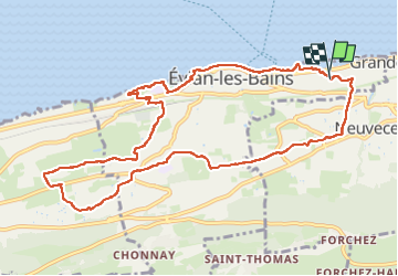

Length
11.4 km

Max alt
564 m

Uphill gradient
250 m
Km-Effort
14.8 km

Min alt
370 m

Downhill gradient
246 m
Boucle
Yes
Creation date :
2025-06-15 11:45:30.801
Updated on :
2025-06-15 15:50:54.3
4h04
Difficulty : Difficult

FREE GPS app for hiking
 SityTrail
IGN / Geographical institutes
SityTrail Plus
The world is yours!
About
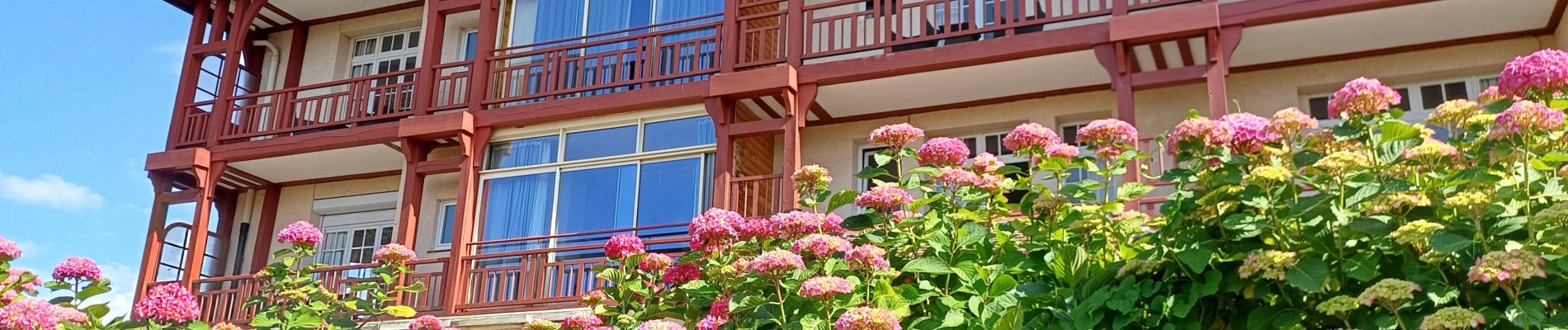
Trail Walking of 11.4 km to be discovered at Auvergne-Rhône-Alpes, Upper Savoy, Évian-les-Bains. This trail is proposed by ISAGIL.
Photos


Positioning
Country:
France
Region :
Auvergne-Rhône-Alpes
Department/Province :
Upper Savoy
Municipality :
Évian-les-Bains
Location:
Unknown
Start:(Dec)
Start:(UTM)
315908 ; 5141395 (32T) N.
Comments