


evian neuvecelle

ISAGIL
User
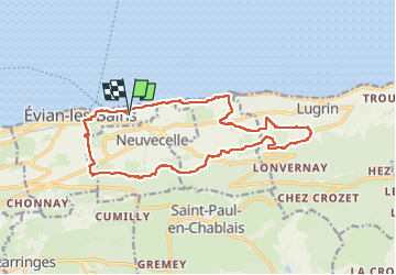

Length
17.3 km

Max alt
637 m

Uphill gradient
478 m
Km-Effort
24 km

Min alt
370 m

Downhill gradient
479 m
Boucle
Yes
Creation date :
2025-06-16 07:04:51.886
Updated on :
2025-06-16 14:35:19.845
6h59
Difficulty : Very difficult

FREE GPS app for hiking
 SityTrail
IGN / Geographical institutes
SityTrail Plus
The world is yours!
About
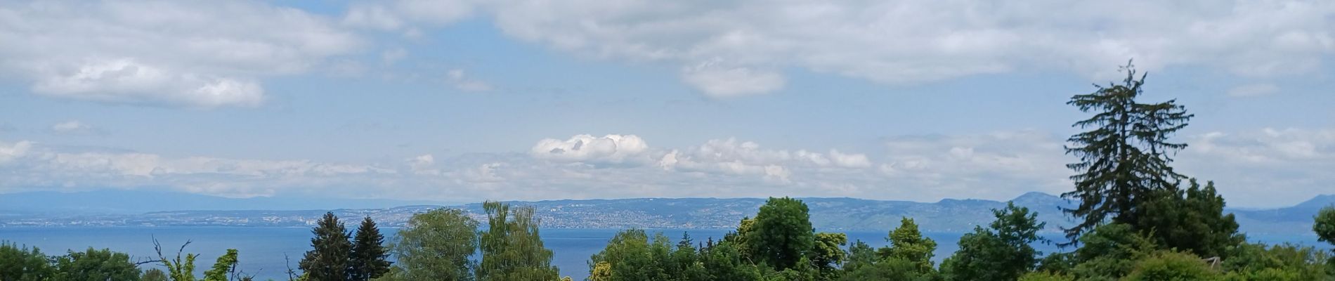
Trail Walking of 17.3 km to be discovered at Auvergne-Rhône-Alpes, Upper Savoy, Évian-les-Bains. This trail is proposed by ISAGIL.
Photos

Positioning
Country:
France
Region :
Auvergne-Rhône-Alpes
Department/Province :
Upper Savoy
Municipality :
Évian-les-Bains
Location:
Unknown
Start:(Dec)
Start:(UTM)
315916 ; 5141391 (32T) N.
Comments