


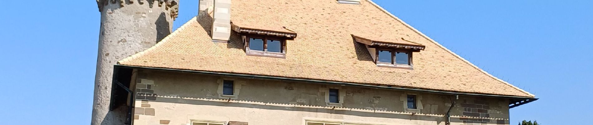
thonon château de ripaille

ISAGIL
User
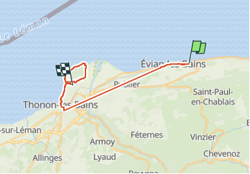

Length
20 km

Max alt
511 m

Uphill gradient
265 m
Km-Effort
24 km

Min alt
370 m

Downhill gradient
255 m
Boucle
No
Creation date :
2025-06-17 11:22:18.148
Updated on :
2025-06-17 15:14:03.212
3h34
Difficulty : Very difficult

FREE GPS app for hiking
 SityTrail
IGN / Geographical institutes
SityTrail Plus
The world is yours!
About
Trail Walking of 20 km to be discovered at Auvergne-Rhône-Alpes, Upper Savoy, Évian-les-Bains. This trail is proposed by ISAGIL.
Photos


Positioning
Country:
France
Region :
Auvergne-Rhône-Alpes
Department/Province :
Upper Savoy
Municipality :
Évian-les-Bains
Location:
Unknown
Start:(Dec)
Start:(UTM)
315922 ; 5141400 (32T) N.
Comments