


Bomal sur Ourthe 170625

guyernage25
User


3h15
Difficulty : Medium

FREE GPS app for hiking
 SityTrail
IGN / Geographical institutes
SityTrail Plus
The world is yours!
About
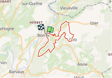
Trail Walking of 12.9 km to be discovered at Wallonia, Luxembourg, Durbuy. This trail is proposed by guyernage25.
Description
belle rando a point de vues.
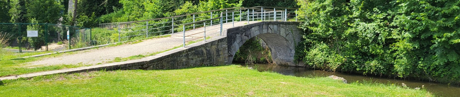
Attention il y a 2 passerelles sur l Aisne. La première n existe plus d ou bain de pied forcé.
La 2e à été restaurée
Photos


35 photos in total. Please click on a photo to see them all in the gallery.
Positioning
Comments