


rando Sirmione

jeanmarcMasson
User GUIDE

Length
7.1 km

Max alt
87 m

Uphill gradient
63 m
Km-Effort
7.9 km

Min alt
64 m

Downhill gradient
62 m
Boucle
No
Creation date :
2025-06-18 13:09:02.01
Updated on :
2025-06-18 15:58:03.527
1h48
Difficulty : Medium

FREE GPS app for hiking
 SityTrail
IGN / Geographical institutes
SityTrail Plus
The world is yours!
About
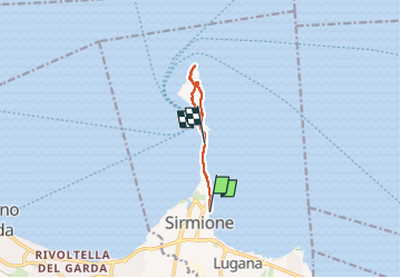
Trail Walking of 7.1 km to be discovered at Lombardy, Brescia, Sirmione. This trail is proposed by jeanmarcMasson.
Positioning
Country:
Italy
Region :
Lombardy
Department/Province :
Brescia
Municipality :
Sirmione
Location:
Unknown
Start:(Dec)
Start:(UTM)
625930 ; 5036575 (32T) N.
Comments