


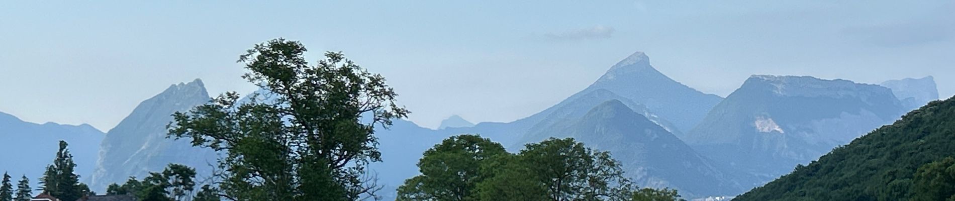
Colline de Comboire

alfreson
User
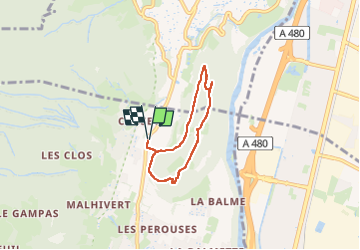

Length
5.1 km

Max alt
517 m

Uphill gradient
174 m
Km-Effort
7.4 km

Min alt
413 m

Downhill gradient
174 m
Boucle
Yes
Creation date :
2025-06-18 16:45:26.0
Updated on :
2025-06-18 18:13:00.945
1h27
Difficulty : Medium

FREE GPS app for hiking
 SityTrail
IGN / Geographical institutes
SityTrail Plus
The world is yours!
About
Trail Walking of 5.1 km to be discovered at Auvergne-Rhône-Alpes, Isère, Claix. This trail is proposed by alfreson.
Photos


Positioning
Country:
France
Region :
Auvergne-Rhône-Alpes
Department/Province :
Isère
Municipality :
Claix
Location:
Unknown
Start:(Dec)
Start:(UTM)
710180 ; 5001986 (31T) N.
Comments