


argeles-gasotz

ollivier.albert
User
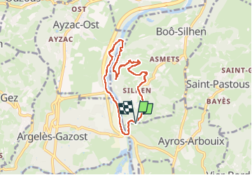

Length
7 km

Max alt
587 m

Uphill gradient
184 m
Km-Effort
9.4 km

Min alt
411 m

Downhill gradient
184 m
Boucle
Yes
Creation date :
2025-06-19 14:24:37.598
Updated on :
2025-06-19 17:05:36.293
2h12
Difficulty : Medium

FREE GPS app for hiking
 SityTrail
IGN / Geographical institutes
SityTrail Plus
The world is yours!
About
Trail Walking of 7 km to be discovered at Occitania, Hautespyrenees, Ayros-Arbouix. This trail is proposed by ollivier.albert.
Description
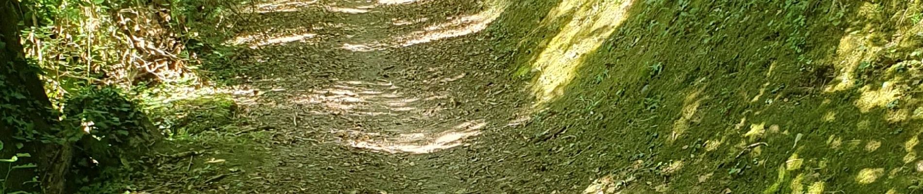
le long du gave de pau
Photos


Positioning
Country:
France
Region :
Occitania
Department/Province :
Hautespyrenees
Municipality :
Ayros-Arbouix
Location:
Unknown
Start:(Dec)
Start:(UTM)
738050 ; 4765779 (30T) N.
Comments