


Le Chiran

raygautier
User
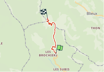

Length
7.8 km

Max alt
1897 m

Uphill gradient
735 m
Km-Effort
15.3 km

Min alt
1217 m

Downhill gradient
57 m
Boucle
No
Creation date :
2025-06-19 06:02:27.0
Updated on :
2025-06-20 09:50:53.194
8h32
Difficulty : Difficult

FREE GPS app for hiking
 SityTrail
IGN / Geographical institutes
SityTrail Plus
The world is yours!
About
Trail Walking of 7.8 km to be discovered at Provence-Alpes-Côte d'Azur, Alpes-de-Haute-Provence, La Palud-sur-Verdon. This trail is proposed by raygautier.
Positioning
Country:
France
Region :
Provence-Alpes-Côte d'Azur
Department/Province :
Alpes-de-Haute-Provence
Municipality :
La Palud-sur-Verdon
Location:
Châteauneuf-lès-Moustiers
Start:(Dec)
Start:(UTM)
285079 ; 4857244 (32T) N.
Comments