


Alf Queyras J2 réel Col Agnel / L’Echalp

alfreson
User
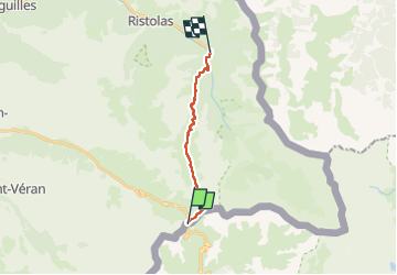


5h22
Difficulty : Difficult

FREE GPS app for hiking
 SityTrail
IGN / Geographical institutes
SityTrail Plus
The world is yours!
About
Trail Walking of 11.8 km to be discovered at Piemont, Cuneo, Pontechianale. This trail is proposed by alfreson.
Description
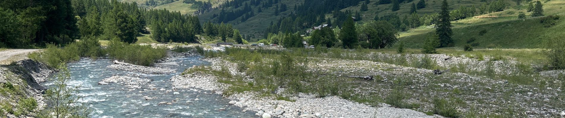
Descente depuis le Col Agnel dans la vallée du Guill, avec passage le long des lacs de Forleant et Egorgeou, vues splendides tout le long du tracé, et on termine dans lacs forêt et les alpages
Photos


41 photos in total. Please click on a photo to see them all in the gallery.
Positioning
Comments