


Alf Queyras j3 réel

alfreson
User

Length
16.2 km

Max alt
2584 m

Uphill gradient
1068 m
Km-Effort
31 km

Min alt
1477 m

Downhill gradient
1141 m
Boucle
No
Creation date :
2025-06-22 06:46:04.0
Updated on :
2025-06-22 17:21:40.749
7h51
Difficulty : Very difficult

FREE GPS app for hiking
 SityTrail
IGN / Geographical institutes
SityTrail Plus
The world is yours!
About
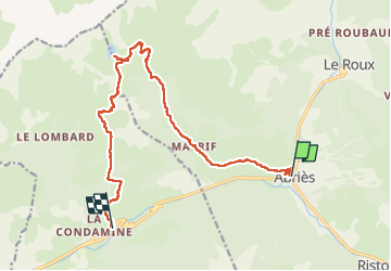
Trail Walking of 16.2 km to be discovered at Provence-Alpes-Côte d'Azur, Hautes-Alpes, Abriès-Ristolas. This trail is proposed by alfreson.
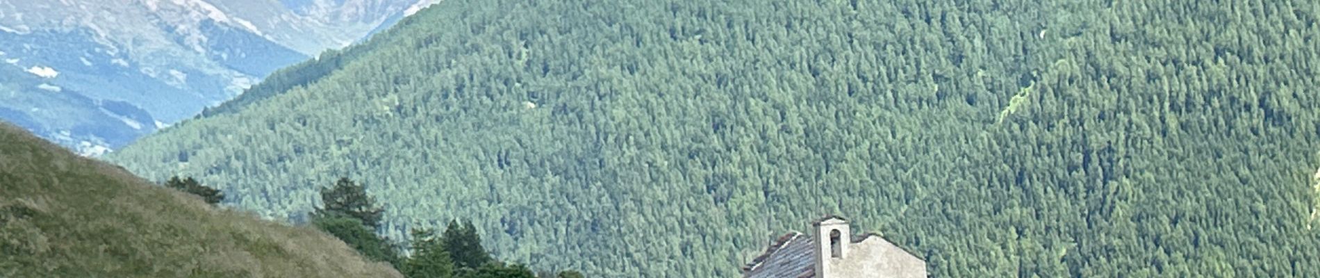
Photos


24 photos in total. Please click on a photo to see them all in the gallery.
Positioning
Country:
France
Region :
Provence-Alpes-Côte d'Azur
Department/Province :
Hautes-Alpes
Municipality :
Abriès-Ristolas
Location:
Unknown
Start:(Dec)
Start:(UTM)
336006 ; 4962173 (32T) N.
Comments