


anthisne mont anthisne

stef789
User GUIDE
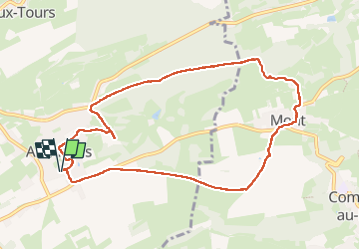

Length
9.1 km

Max alt
279 m

Uphill gradient
157 m
Km-Effort
11.2 km

Min alt
200 m

Downhill gradient
157 m
Boucle
Yes
Creation date :
2025-06-24 12:38:30.646
Updated on :
2025-06-24 16:09:02.595
3h30
Difficulty : Medium

FREE GPS app for hiking
 SityTrail
IGN / Geographical institutes
SityTrail Plus
The world is yours!
About
Trail Walking of 9.1 km to be discovered at Wallonia, Liège, Anthisnes. This trail is proposed by stef789.
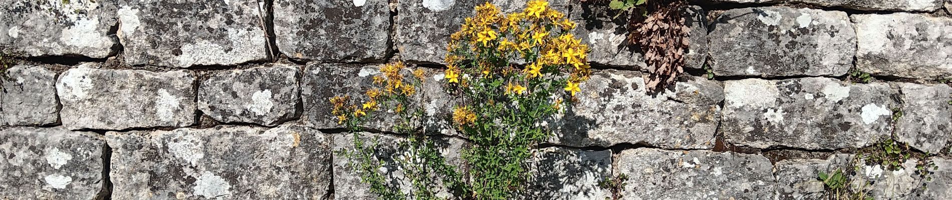
Photos


31 photos in total. Please click on a photo to see them all in the gallery.
Positioning
Country:
Belgium
Region :
Wallonia
Department/Province :
Liège
Municipality :
Anthisnes
Location:
Unknown
Start:(Dec)
Start:(UTM)
679007 ; 5594987 (31U) N.
Comments