


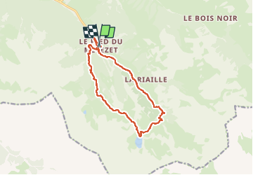
Ceillac Lacs Ste-Anne et Miroir

alfreson
User

Length
14.9 km

Max alt
2413 m

Uphill gradient
793 m
Km-Effort
25 km

Min alt
1670 m

Downhill gradient
775 m
Boucle
Yes
Creation date :
2025-06-26 05:13:49.0
Updated on :
2025-06-26 11:29:29.035
6h14
Difficulty : Difficult

FREE GPS app for hiking
 SityTrail
IGN / Geographical institutes
SityTrail Plus
The world is yours!
About
Trail Walking of 14.9 km to be discovered at Provence-Alpes-Côte d'Azur, Hautes-Alpes, Ceillac. This trail is proposed by alfreson.
Description
À faire dans ce sens-ci, c’est plus beau et moins raide pour monter…
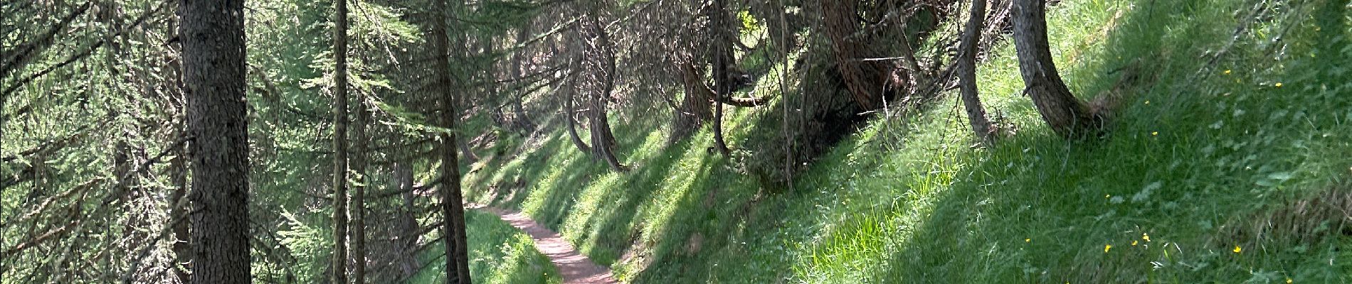
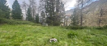
Photos


31 photos in total. Please click on a photo to see them all in the gallery.
Positioning
Country:
France
Region :
Provence-Alpes-Côte d'Azur
Department/Province :
Hautes-Alpes
Municipality :
Ceillac
Location:
Unknown
Start:(Dec)
Start:(UTM)
324895 ; 4946452 (32T) N.
Comments