


250626 - Vendes - Table orientation LeMas

randodan
User
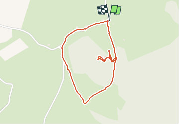

Length
2 km

Max alt
672 m

Uphill gradient
45 m
Km-Effort
2.6 km

Min alt
629 m

Downhill gradient
46 m
Boucle
Yes
Creation date :
2025-06-26 14:19:48.48
Updated on :
2025-06-26 15:18:46.924
57m
Difficulty : Easy

FREE GPS app for hiking
 SityTrail
IGN / Geographical institutes
SityTrail Plus
The world is yours!
About
Trail Walking of 2 km to be discovered at Auvergne-Rhône-Alpes, Cantal, Veyrières. This trail is proposed by randodan.
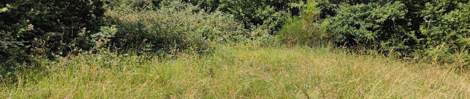
Photos

Positioning
Country:
France
Region :
Auvergne-Rhône-Alpes
Department/Province :
Cantal
Municipality :
Veyrières
Location:
Unknown
Start:(Dec)
Start:(UTM)
451288 ; 5017608 (31T) N.
Comments