


Projet_Amicale_Jullie

d.rognon
User

Length
13.4 km

Max alt
704 m

Uphill gradient
426 m
Km-Effort
19.1 km

Min alt
346 m

Downhill gradient
425 m
Boucle
Yes
Creation date :
2025-06-26 16:09:05.892
Updated on :
2025-06-26 16:15:36.61
4h19
Difficulty : Very difficult

FREE GPS app for hiking
 SityTrail
IGN / Geographical institutes
SityTrail Plus
The world is yours!
About
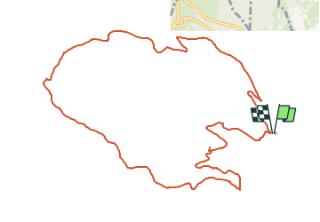
Trail Walking of 13.4 km to be discovered at Auvergne-Rhône-Alpes, Rhône, Jullié. This trail is proposed by d.rognon.
Description
Selon une propositio de la Mairie de Jullié
Table de pique nique au point 637, à 6 kms environ du point de départ.
Latitude:46,24267
Longitude:4,64232
Altitude:634 m
Positioning
Country:
France
Region :
Auvergne-Rhône-Alpes
Department/Province :
Rhône
Municipality :
Jullié
Location:
Unknown
Start:(Dec)
Start:(UTM)
629377 ; 5122303 (31T) N.
Comments