


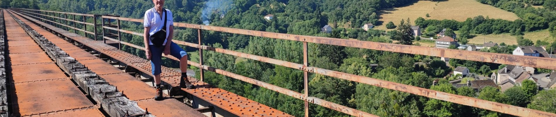
250627 - Vendes - Viaduc Soumène (2)

randodan
User
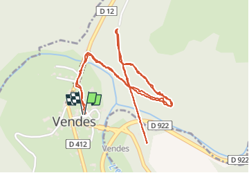

Length
3.6 km

Max alt
438 m

Uphill gradient
127 m
Km-Effort
5.3 km

Min alt
364 m

Downhill gradient
128 m
Boucle
Yes
Creation date :
2025-06-27 07:41:52.716
Updated on :
2025-06-27 13:05:17.882
1h43
Difficulty : Easy

FREE GPS app for hiking
 SityTrail
IGN / Geographical institutes
SityTrail Plus
The world is yours!
About
Trail Walking of 3.6 km to be discovered at Auvergne-Rhône-Alpes, Cantal, Bassignac. This trail is proposed by randodan.
Photos
 - Photo 1")
 - Photo 2")
Positioning
Country:
France
Region :
Auvergne-Rhône-Alpes
Department/Province :
Cantal
Municipality :
Bassignac
Location:
Unknown
Start:(Dec)
Start:(UTM)
451904 ; 5016171 (31T) N.
Comments