


mery . hayen . hautgne . betgne . fontain . avionpuits . mery

stef789
User GUIDE
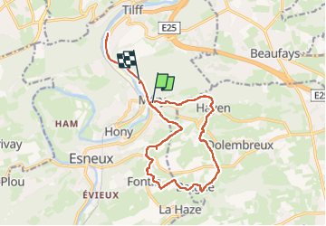

Length
15.1 km

Max alt
244 m

Uphill gradient
306 m
Km-Effort
19.2 km

Min alt
75 m

Downhill gradient
301 m
Boucle
No
Creation date :
2025-07-05 08:47:57.571
Updated on :
2025-07-05 12:26:49.76
3h38
Difficulty : Very difficult

FREE GPS app for hiking
 SityTrail
IGN / Geographical institutes
SityTrail Plus
The world is yours!
About
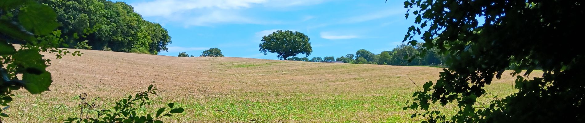
Trail Walking of 15.1 km to be discovered at Wallonia, Liège, Esneux. This trail is proposed by stef789.
Description
la fin est au même endroit que le début (petit retard avant l’enregistrement)
10.7 km et pas 15 ... désolé,
bonne rando
Photos


26 photos in total. Please click on a photo to see them all in the gallery.
Positioning
Country:
Belgium
Region :
Wallonia
Department/Province :
Liège
Municipality :
Esneux
Location:
Unknown
Start:(Dec)
Start:(UTM)
683640 ; 5602643 (31U) N.
Comments