


refuge Chardonneret

JLKino
User

Length
7.5 km

Max alt
2310 m

Uphill gradient
460 m
Km-Effort
13.6 km

Min alt
1863 m

Downhill gradient
450 m
Boucle
Yes
Creation date :
2025-07-01 05:19:33.362
Updated on :
2025-07-07 12:48:06.664
6h18
Difficulty : Difficult

FREE GPS app for hiking
 SityTrail
IGN / Geographical institutes
SityTrail Plus
The world is yours!
About
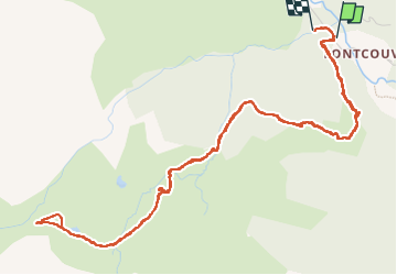
Trail Walking of 7.5 km to be discovered at Provence-Alpes-Côte d'Azur, Hautes-Alpes, Névache. This trail is proposed by JLKino.
Positioning
Country:
France
Region :
Provence-Alpes-Côte d'Azur
Department/Province :
Hautes-Alpes
Municipality :
Névache
Location:
Unknown
Start:(Dec)
Start:(UTM)
306654 ; 4989679 (32T) N.
Comments