


cascade Pissoun

PhilB24
User
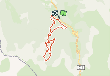

Length
7.7 km

Max alt
1905 m

Uphill gradient
400 m
Km-Effort
13 km

Min alt
1529 m

Downhill gradient
400 m
Boucle
Yes
Creation date :
2025-07-07 09:10:31.509
Updated on :
2025-07-08 19:39:11.994
2h57
Difficulty : Difficult

FREE GPS app for hiking
 SityTrail
IGN / Geographical institutes
SityTrail Plus
The world is yours!
About
Trail Walking of 7.7 km to be discovered at Provence-Alpes-Côte d'Azur, Alpes-de-Haute-Provence, Jausiers. This trail is proposed by PhilB24.
Description
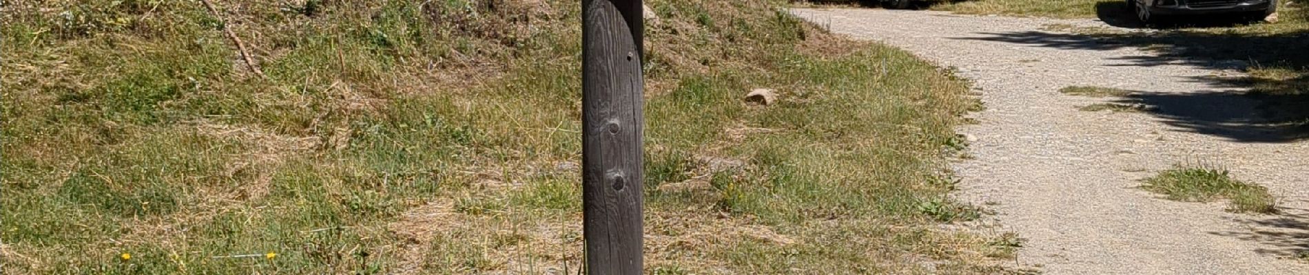
Départ Parking la Chalanette. Rando boucle sans difficulté technique, très majoritairement ombragée. Rando balisée.
Photos


Positioning
Country:
France
Region :
Provence-Alpes-Côte d'Azur
Department/Province :
Alpes-de-Haute-Provence
Municipality :
Jausiers
Location:
Unknown
Start:(Dec)
Start:(UTM)
322432 ; 4918053 (32T) N.
Comments