


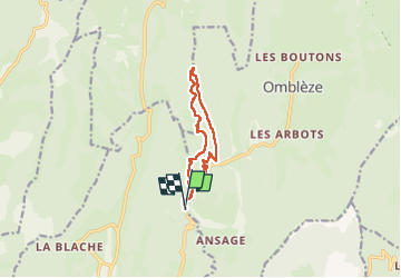
Canyon des Gueulards

alinetpierre
User

Length
10.7 km

Max alt
830 m

Uphill gradient
392 m
Km-Effort
15.9 km

Min alt
563 m

Downhill gradient
396 m
Boucle
Yes
Creation date :
2025-07-11 07:33:37.0
Updated on :
2025-07-11 15:40:20.455
3h37
Difficulty : Difficult

FREE GPS app for hiking
 SityTrail
IGN / Geographical institutes
SityTrail Plus
The world is yours!
About
Trail Walking of 10.7 km to be discovered at Auvergne-Rhône-Alpes, Drôme, Plan-de-Baix. This trail is proposed by alinetpierre.
Description
Reco CA azur belle randonnée pour prendre le frais l’été.
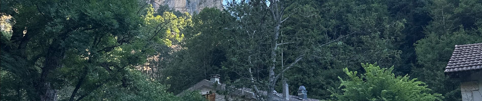
Photos


Positioning
Country:
France
Region :
Auvergne-Rhône-Alpes
Department/Province :
Drôme
Municipality :
Plan-de-Baix
Location:
Unknown
Start:(Dec)
Start:(UTM)
672861 ; 4967155 (31T) N.
Comments