


le chapeau de gendarme

PhilB24
User


3h12
Difficulty : Difficult

FREE GPS app for hiking
 SityTrail
IGN / Geographical institutes
SityTrail Plus
The world is yours!
About
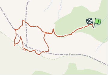
Trail Walking of 6.7 km to be discovered at Provence-Alpes-Côte d'Azur, Alpes-de-Haute-Provence, Enchastrayes. This trail is proposed by PhilB24.
Description
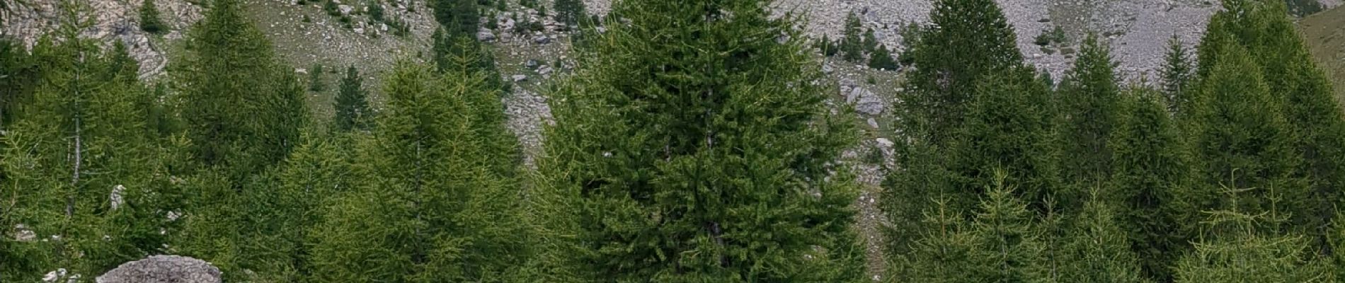
Départ du parking Supersauze 1700. Montée par télésiège du Brec 2200m. Départ du télésiège, fléchage et tracé jaune. Récupération du chemin qui monte depuis la station à la montée du Queiron, 2200m. Montée vers col du Gyp et chapeau de gendarme. Montée au chapeau par la face est et retour par la face nord. Au sommet prendre direction le Queiron ou sauze 1700 par face nord (classique par col des Alaris). Descente aérienne délicate sur les 100 premiers mètres, utilisation des mains. Suivre la tracé jaune Queiron et retour télésiège pour économiser les genoux. En bref montée et descente parfois très raides. De nombreux bouquetins le long du chemin.
Photos


Positioning
Comments