


Clères - Frichemesnil-Cressieiseusemare

MichelRando7656
User
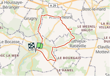

Length
14.5 km

Max alt
166 m

Uphill gradient
240 m
Km-Effort
17.7 km

Min alt
90 m

Downhill gradient
240 m
Boucle
Yes
Creation date :
2025-07-14 07:25:34.559
Updated on :
2025-07-14 11:48:13.117
4h21
Difficulty : Difficult

FREE GPS app for hiking
 SityTrail
IGN / Geographical institutes
SityTrail Plus
The world is yours!
About
Trail Walking of 14.5 km to be discovered at Normandy, Seine-Maritime, Clères. This trail is proposed by MichelRando7656.
Description
Beaucoup de petites routes en suivant les les repères Ronds Bleus-
Certains tronçons sont devenus impraticables par manque d'entretien.
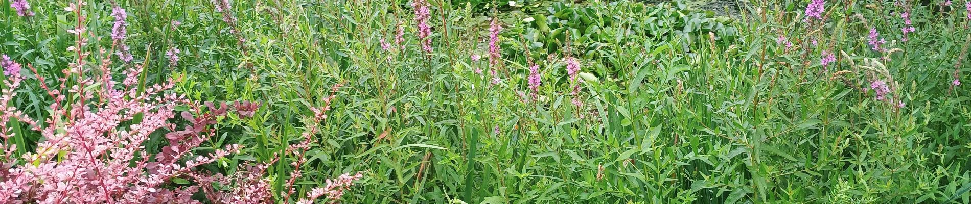
Photos


Positioning
Country:
France
Region :
Normandy
Department/Province :
Seine-Maritime
Municipality :
Clères
Location:
Unknown
Start:(Dec)
Start:(UTM)
363474 ; 5495517 (31U) N.
Comments