


lac du lauzanier depuis parking Pont rouge

PhilB24
User
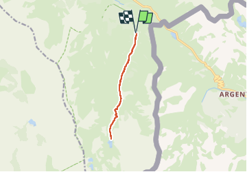


3h31
Difficulty : Medium

FREE GPS app for hiking
 SityTrail
IGN / Geographical institutes
SityTrail Plus
The world is yours!
About
Trail Walking of 9.9 km to be discovered at Provence-Alpes-Côte d'Azur, Alpes-de-Haute-Provence, Val-d'Oronaye. This trail is proposed by PhilB24.
Description
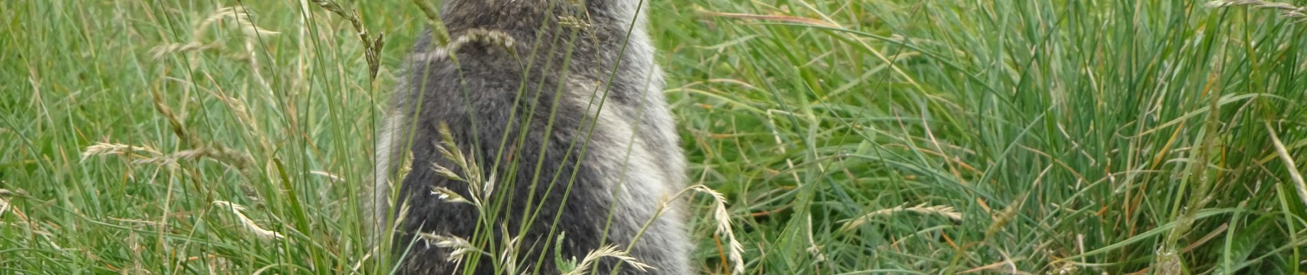
Accès par navette gratuite depuis Larche. Possibilité petit parking à environ 3,5 km du parking Pont rouge. Accès règlementé de 8h à 17h30, chaîne en travers. Route en mauvais état et grosses difficultés de croisement. Montée au lac 1h45, descente moins d'1h30. De nombreuses marmottes le long de la rando. Pas de difficulté technique.
Photos


Positioning
Comments