


Antraigues

thonyc
User GUIDE

Length
17.5 km

Max alt
793 m

Uphill gradient
581 m
Km-Effort
25 km

Min alt
396 m

Downhill gradient
574 m
Boucle
Yes
Creation date :
2025-07-16 07:17:10.543
Updated on :
2025-07-17 19:25:57.236
5h44
Difficulty : Very difficult

FREE GPS app for hiking
 SityTrail
IGN / Geographical institutes
SityTrail Plus
The world is yours!
About
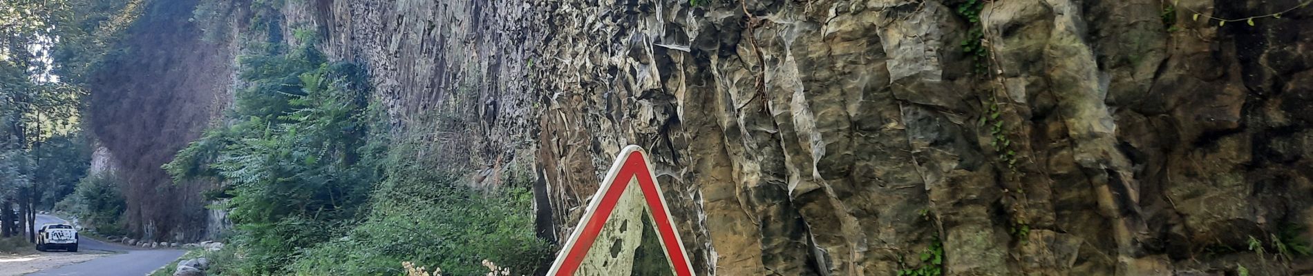
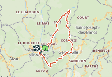
Trail Walking of 17.5 km to be discovered at Auvergne-Rhône-Alpes, Ardèche, Vallées-d'Antraigues-Asperjoc. This trail is proposed by thonyc.
Photos


Positioning
Country:
France
Region :
Auvergne-Rhône-Alpes
Department/Province :
Ardèche
Municipality :
Vallées-d'Antraigues-Asperjoc
Location:
Unknown
Start:(Dec)
Start:(UTM)
607709 ; 4952367 (31T) N.
Comments