


Hastiere

alfreson
User
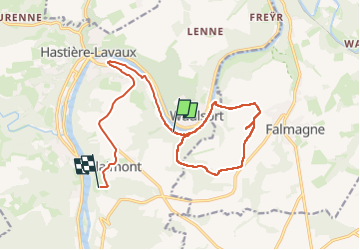

Length
15.2 km

Max alt
278 m

Uphill gradient
371 m
Km-Effort
19.9 km

Min alt
91 m

Downhill gradient
319 m
Boucle
No
Creation date :
2025-07-17 13:11:01.0
Updated on :
2025-07-17 17:35:17.197
3h38
Difficulty : Medium

FREE GPS app for hiking
 SityTrail
IGN / Geographical institutes
SityTrail Plus
The world is yours!
About
Trail Walking of 15.2 km to be discovered at Wallonia, Namur, Hastière. This trail is proposed by alfreson.
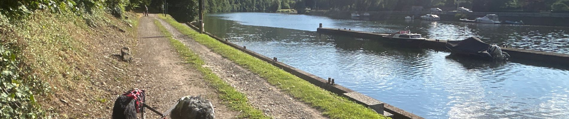
Photos


Positioning
Country:
Belgium
Region :
Wallonia
Department/Province :
Namur
Municipality :
Hastière
Location:
Unknown
Start:(Dec)
Start:(UTM)
632400 ; 5562495 (31U) N.
Comments