


GRPCV 01

c.chehere
User

Length
12.7 km

Max alt
179 m

Uphill gradient
253 m
Km-Effort
16.1 km

Min alt
77 m

Downhill gradient
258 m
Boucle
No
Creation date :
2025-07-22 06:09:49.926
Updated on :
2025-07-22 16:00:07.631
3h35
Difficulty : Easy

FREE GPS app for hiking
 SityTrail
IGN / Geographical institutes
SityTrail Plus
The world is yours!
About
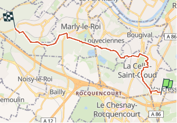
Trail Walking of 12.7 km to be discovered at Ile-de-France, Hauts-de-Seine, Vaucresson. This trail is proposed by c.chehere.
Description
Depuis la gare de Vaucresson jusqu'à la gare de St Nom la bretèche
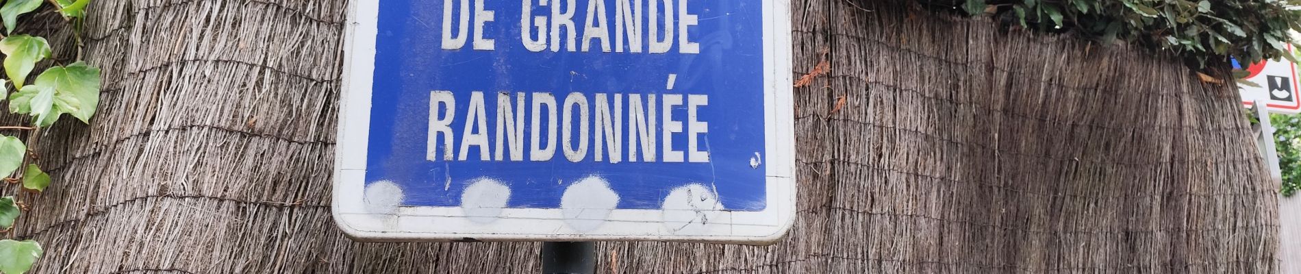
Photos


Positioning
Country:
France
Region :
Ile-de-France
Department/Province :
Hauts-de-Seine
Municipality :
Vaucresson
Location:
Unknown
Start:(Dec)
Start:(UTM)
437818 ; 5409642 (31U) N.
Comments